- LanguageAfrikaans Argentina Azərbaycanca
Bahasa Indonesia Brasil Brezhoneg
Català Česky Dansk
Deutsch Dhivehi English
English English Español
Esperanto Estonian Euskara
Finnish Français Français
Gaeilge Galego Hrvatski
Íslenska Italiano Latviešu
Lëtzebuergesch Lietuviu Magyar
Malay México Nederlands
Norsk bokmål Norwegian nynorsk Polski
Português Română Slovenšcina
Slovensky Srpski Svenska
Tiếng Việt Türkçe Wolof
Ελληνικά Български Македонски
Монгол Русский Српски
Українська עברית العربية (مصر)
العربية العربية پارسی
कोंकणी বাংলাગુજરાતી
தமிழ் ಕನ್ನಡ ภาษาไทย
ქართული ខ្មែរ 中文 (繁體)
中文 (香港) 日本語 简体中文
한국어
Home 17196

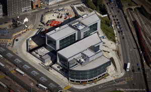 Sheffield Digital Campus from the air
 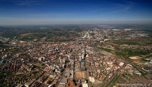 Sheffield from the air
 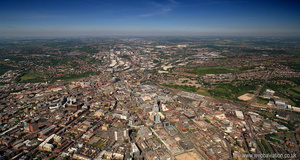 Sheffield from the air
 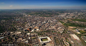 Sheffield from the air
 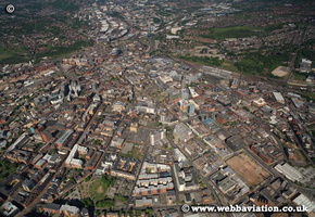 Sheffield gb12124
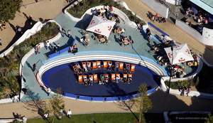 Sheffield in sunshine cb34055a
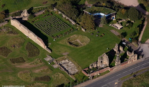 Sheffield Manor Lodge from the air
 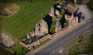 Sheffield Manor Lodge from the air
 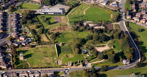 Sheffield Manor Lodge from the air
 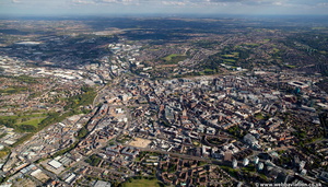 Sheffield panoramic from the air
 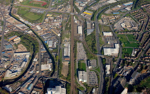 Sheffield Parkway aerial photograph
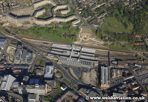 Sheffield railway station fb09226
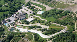 Sheffield Ski Village from the air
 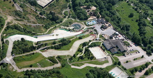 Sheffield Ski Village from the air
 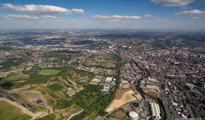 Sheffield South Yorkshire aerial photograph
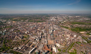 Sheffield South Yorkshire aerial photograph
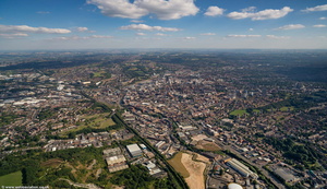 Sheffield South Yorkshire aerial photograph
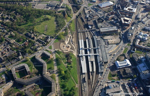 Sheffield Station from the air
 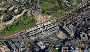 Sheffield Station from the air
 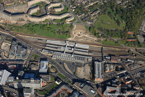 Sheffield Station from the air
 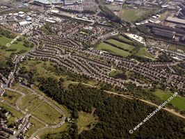 Sheffield Yorkshire England UK aerial photograph
 Sheffield Yorkshire England UK aerial photograph
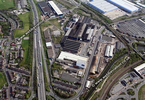 Sheffield Yorkshire England UK aerial photograph
 Sheffield Yorkshire England UK aerial photograph
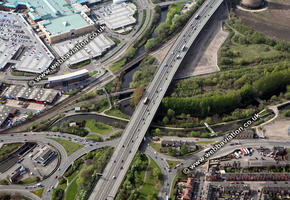 Sheffield Yorkshire England UK aerial photograph
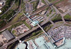 Sheffield Yorkshire England UK aerial photograph
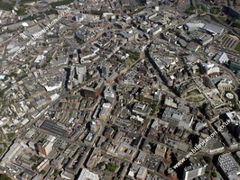 Sheffield Yorkshire England UK aerial photograph
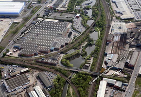 Sheffield Yorkshire England UK aerial photograph
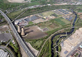 Sheffield Yorkshire England UK aerial photograph
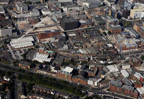 Sheffield Yorkshire England UK aerial photograph
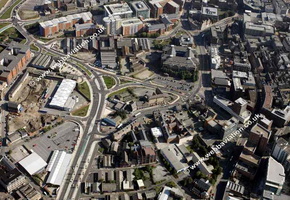 Sheffield Yorkshire England UK aerial photograph
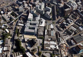 Sheffield Yorkshire England UK aerial photograph
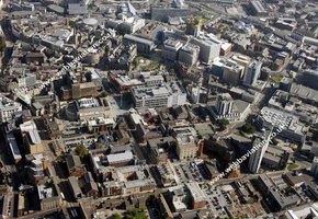 Sheffield Yorkshire England UK aerial photograph
 Sheffield Yorkshire England UK aerial photograph
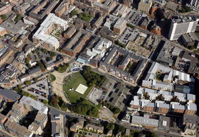 Sheffield Yorkshire England UK aerial photograph
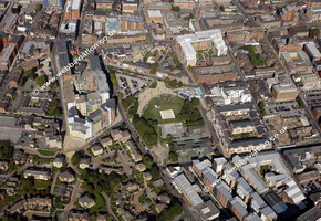 Sheffield Yorkshire England UK aerial photograph
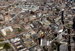 Sheffield Yorkshire England UK aerial photograph
 Sheffield Yorkshire England UK aerial photograph
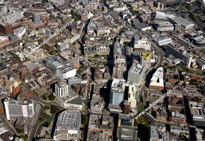 Sheffield Yorkshire England UK aerial photograph
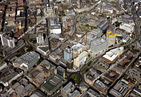 Sheffield Yorkshire England UK aerial photograph
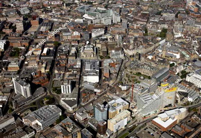 Sheffield Yorkshire England UK aerial photograph
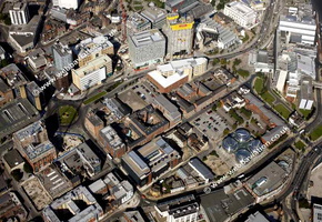 Sheffield Yorkshire England UK aerial photograph
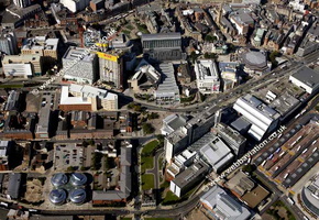 Sheffield Yorkshire England UK aerial photograph
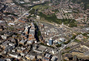 Sheffield Yorkshire England UK aerial photograph
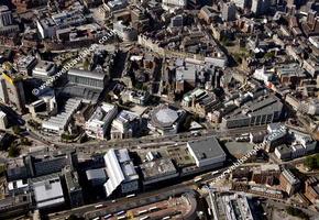 Sheffield Yorkshire England UK aerial photograph
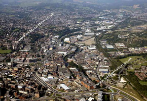 Sheffield Yorkshire England UK aerial photograph
 Sheffield Yorkshire England UK aerial photograph
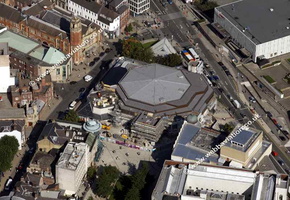 Sheffield Yorkshire England UK aerial photograph
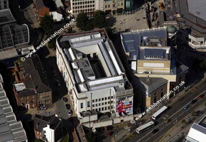 Sheffield Yorkshire England UK aerial photograph
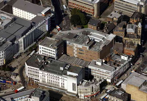 Sheffield Yorkshire England UK aerial photograph
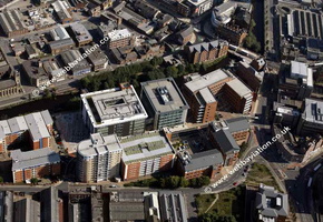 Sheffield Yorkshire England UK aerial photograph
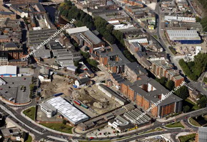 Sheffield Yorkshire England UK aerial photograph
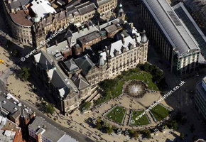 Sheffield Yorkshire England UK aerial photograph
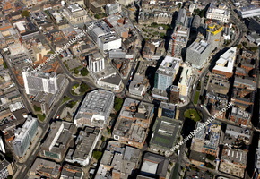 Sheffield Yorkshire England UK aerial photograph
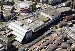 Sheffield Yorkshire England UK aerial photograph
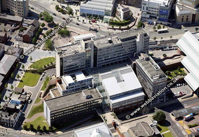 Sheffield Yorkshire England UK aerial photograph
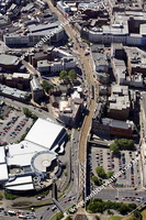 Sheffield Yorkshire England UK aerial photograph
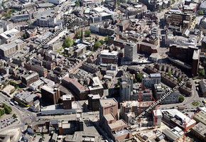 Sheffield Yorkshire England UK aerial photograph
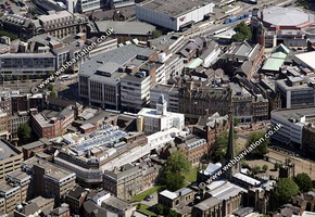 Sheffield Yorkshire England UK aerial photograph
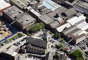 Sheffield Yorkshire England UK aerial photograph
 Sheffield Yorkshire England UK aerial photograph
 Sheffield Yorkshire England UK aerial photograph
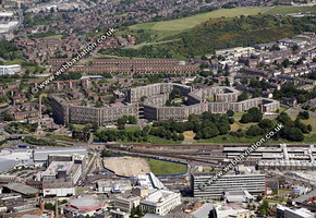 Sheffield Yorkshire England UK aerial photograph
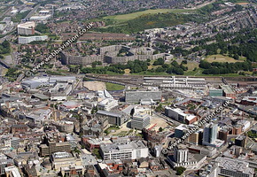 Sheffield Yorkshire England UK aerial photograph
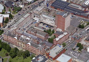 Sheffield Yorkshire England UK aerial photograph
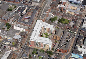 Sheffield Yorkshire England UK aerial photograph
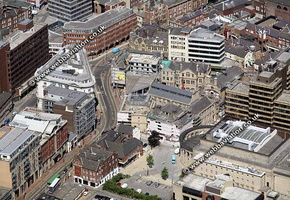 Sheffield Yorkshire England UK aerial photograph
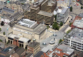 Sheffield Yorkshire England UK aerial photograph
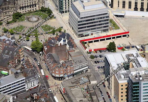 Sheffield Yorkshire England UK aerial photograph
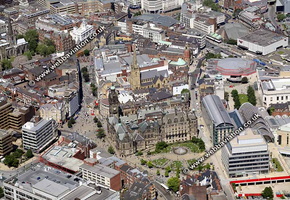 Sheffield Yorkshire England UK aerial photograph
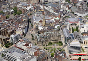 Sheffield Yorkshire England UK aerial photograph
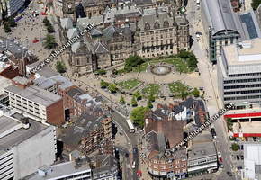 Sheffield Yorkshire England UK aerial photograph
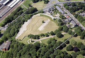 Sheffield Yorkshire England UK aerial photograph
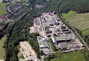 Sheffield Yorkshire England UK aerial photograph
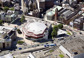 Sheffield Yorkshire England UK aerial photograph
 Sheffield Yorkshire England UK aerial photograph
 Sheffield Yorkshire England UK aerial photograph
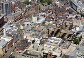 Sheffield Yorkshire England UK aerial photograph
 Sheffield Yorkshire England UK aerial photograph
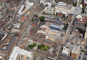 Sheffield Yorkshire England UK aerial photograph
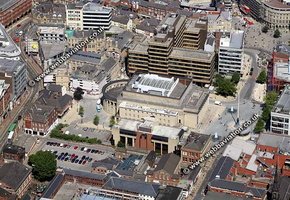 Sheffield Yorkshire England UK aerial photograph
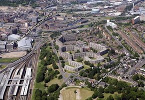 Sheffield Yorkshire England UK aerial photograph
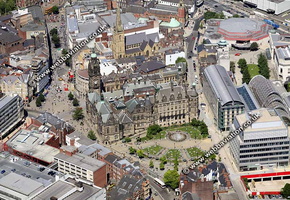 Sheffield Yorkshire England UK aerial photograph
 Sheffield Yorkshire England UK aerial photograph
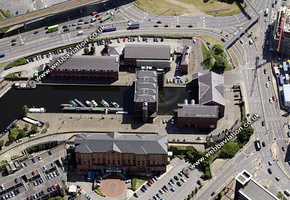 Sheffield Yorkshire England UK aerial photograph
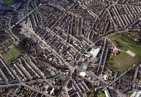 Sheffield Yorkshire England UK aerial photograph
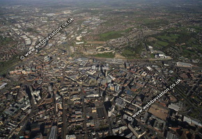 Sheffield-fb09401
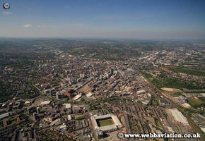 Sheffield-gb12161
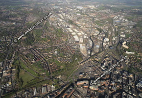 SheffieldNorth fb09483
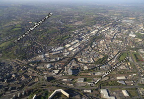 SheffieldNorth-fb09722
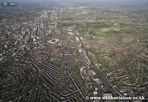 SheffieldSouth-fb09322
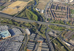 SheffieldTinsleyCanal fb10042
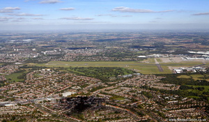 Sheldon, West Midlands from the air
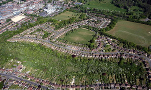 Shelley Road High Wycombe aerial photo
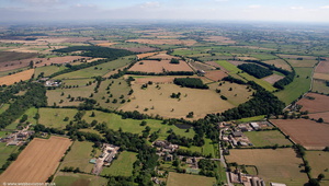 Shenton from the air
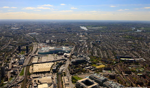 Shepherd's Bush London from the air
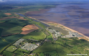 Shepherds Port Norfolk jc16293
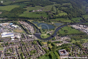 ShepleyBridge-jc11772
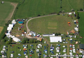 ShepleyFestival gb12104
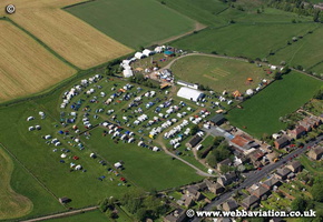 ShepleyFestival gb12121
 , Jonathan C.K.Webb.