2 photos
- LanguageAfrikaans Argentina Azərbaycanca
Bahasa Indonesia Brasil Brezhoneg
Català Česky Dansk
Deutsch Dhivehi English
English English Español
Esperanto Estonian Euskara
Finnish Français Français
Gaeilge Galego Hrvatski
Íslenska Italiano Latviešu
Lëtzebuergesch Lietuviu Magyar
Malay México Nederlands
Norsk bokmål Norwegian nynorsk Polski
Português Română Slovenšcina
Slovensky Srpski Svenska
Tiếng Việt Türkçe Wolof
Ελληνικά Български Македонски
Монгол Русский Српски
Українська עברית العربية (مصر)
العربية العربية پارسی
कोंकणी বাংলাગુજરાતી
தமிழ் ಕನ್ನಡ ภาษาไทย
ქართული ខ្មែរ 中文 (繁體)
中文 (香港) 日本語 简体中文
한국어
Home / Derbyshire 51

-
Alfreton
7 photos
-
Arbor Low
11 photos
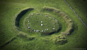
aerial photographs of Arbor Low Neolithic henge in the Peak District Derbyshire England UK. The henge is one of England´s best preserved ancient monuments and in 1880 became one of the first to be protected. Excavations in 1902 revealed a human Skelton near the centre of the monument.
-
Ashbourne
9 photos
aerial photographs of Ashbourne Derbyshire England UK.
-
Bakewell
2 photos
-
Bloodstock
7 photos
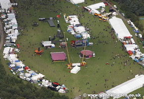
aerial photographs of the Bloodstock concert Derbyshire England UK
-
Bolsover
8 photos
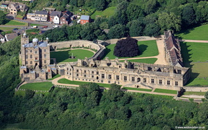
aerial photographs of the Bolsover Castle, Derbyshire England UK. Originally built by the Peverel family in the 12th Century it was besieged and taken in 1217. The castle was then repaired and improved during the 13th century but was starting to fall into decay by the end of the century. It was bought in 1608 by Sir Charles Cavendish, 7th earl of Shrewsbury, who set about renovating it and turning it into a comfortable home. During the English civil war the Castle was taken by Parliamentarian forces and slighted, however it was reapaired again after the war. The castle was given to the nation in 1945 and is now managed by English Heritage.
-
Buxton
19 photos
aerial photograph of Buxton Derbyshire England UK
-
Castleton
5 photos
-
Chapel-en-le-Frith
19 photos
-
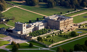
Chatsworth House
6 photos
-
Chesterfield
25 photos
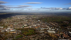
aerial photograph of Chesterfield Derbyshire England UK
-
Derby
50 photos
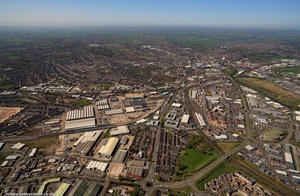
aerial photograph of Derby Derbyshire England UK
-
Eyam
1 photo
-
Haddon Hall
2 photos
aerial photograph of Haddon Hall Derbyshire UK
-
Hardwick Hall
5 photos
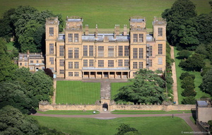
aerial photographs of Hardwick Hall Derbyshire England UK. The Elizabethan "prodigy house" took 7 years to build from 1590 to 1597. The architec was Robert Smythson who was working for Elizabeth Talbot, the Countess of Shrewsbury who was more usually known as Bess of Hardwick who was the wealthiest woman in England after Queen Elizabeth I. One of England's finest Renaissance Buildings the property is now owned by he National Trust and opened to the public.
-
Hungry Bentley
4 photos
-
Ilkeston
2 photos
-
Long Eaton
1 photo
-
Mam Tor
5 photos
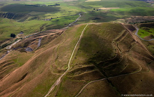
aerial photograph of Mam Tor Bronze Age Hillfort , Derbyshire UK. Archaeological investigation using radio carbon dating has indicated Mam Tor hill fort was occupied around 1200 BC. The hill fort contains the numerous levelled platforms whihc had formed the foundations of prehistoric houses.
-
Matlock
11 photos
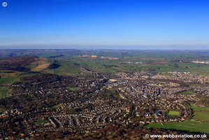
aerial photograph of Matlock Derbyshire England UK
-
Navio Roman Fort
3 photos
aerial photographs of Navio Roman fort and vicus Brough Derbyshire. Built on a defensive site at the confluence of the River Noe and the Bradwell Brook. A pile of stone slabs near the centre of the fort are just visible in the photograph and mark the remains of the Principia or headquarters building. There were four phases of construction at the site beginning with the first fort around.AD 80. This fort was abandoned for a short period around AD 125 and then re-established AD 154-158. The Principia, was constructed AD 158 and the fort continued in use until around AD 350 when it was abandoned.
-
Pleasley
3 photos
aerial photograph of Pleasley Derbyshire England UK
-
Sandiacre
2 photos

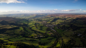 Hathersage, Hope Valley in the Derbyshire Peak District from the air
 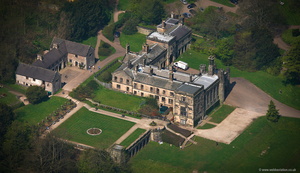 Ilam Hall Derbyshire aerial photograph
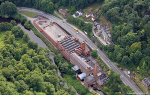 Masson Mill Derbyshire aerial photograph
 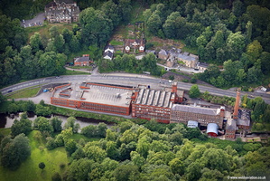 Masson Mill Derbyshire aerial photograph
 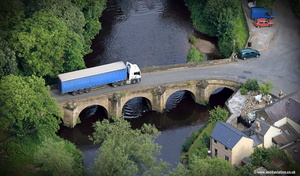 42 ton truck on a medieval bridge - aerial photograph of Darley Bridge
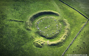 Arbor Low jc14066
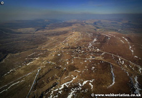 Axe Edge Moor hc05347
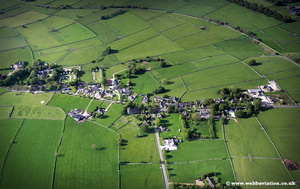 Biggin Derbyshire jc13962
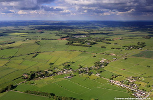 Biggin jc13959
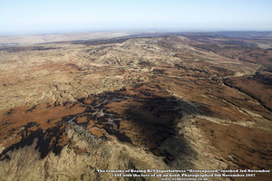 Boeing B29 Superfortress "Overexposed" crash site
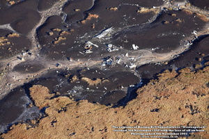 Boeing B29 Superfortress "Overexposed" crash site
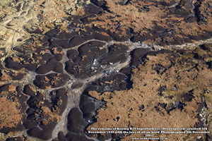 Boeing B29 Superfortress "Overexposed" crash site
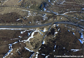 Buxton to Macclesfield road hc05580
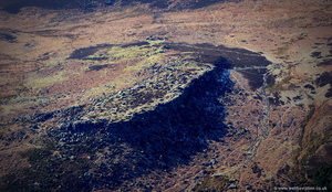 Carl Wark hill fort in the Peak District from the air
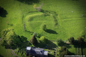 Civil War Siegwork jc13853
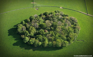 Copse jc13992
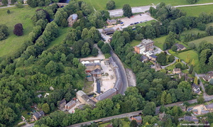 Cromford Derbyshire aerial photograph
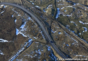 dangerous road hc05588
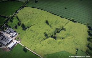 disappeared medieval village Alkmonton jc13639
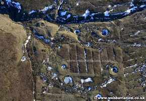 disused mines hc06011
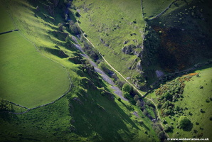 Dovedale Derbyshire jc13944
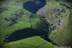 Dovedale jc13932
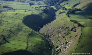 Dovedale Peak District jc13939
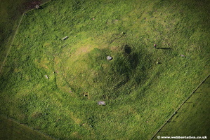 Gibb Hill Long Barrow -jc14110
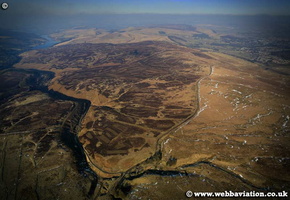 GoytsMosshc05245
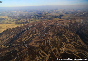 HeatherManagement-hc05224
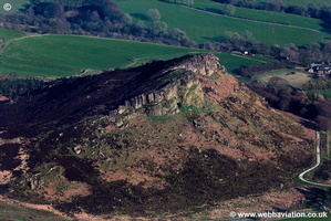 Hen Cloud jc08464
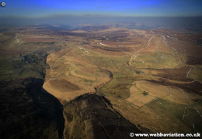 Knotbury-hc05099a
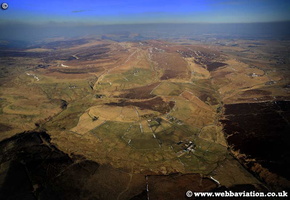 Knotbury-hc05106
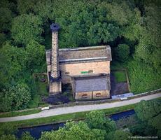 Leawood Pump House, Derbyshire England aerial photograph
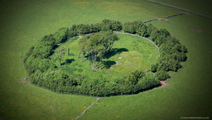 Minninglow ( Minning Low) Neolithic chambered tomb and Bronze Age bowl barrows Derbyshireaerial photograph
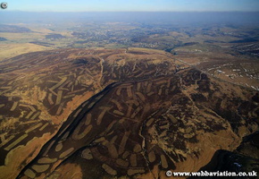 MoorlandManegement-hc05232a
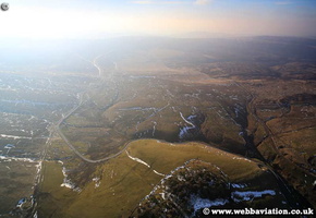 Most Dangerous Road hc05180
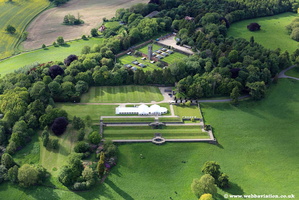 Osmaston Manor site jc13651
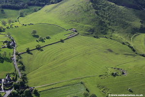 ridge and furrow jc13796
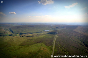 RomanRoad-ic19937
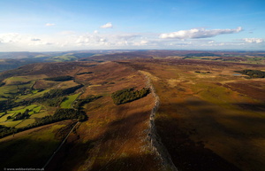 Stanage Edge gritstone escarpment in the Peak District,Derbyshire from the air
 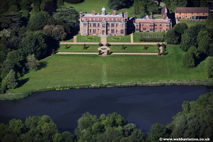 Sudbury Hall jc13615
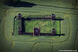 Sudbury-Deercote-jc13626
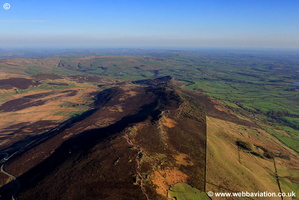 The Roaches -jc08440
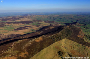 The Roaches -jc08449
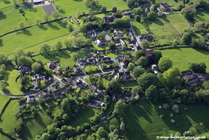 Thorpe Derbyshire jc13793
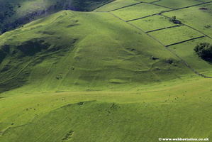 Thorpe Pasture jc13799
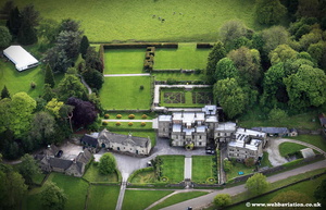 Tissington Hall jc13816
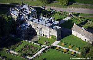 Tissington Hall jc13879
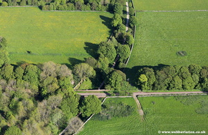 Tissington Trail jc14043
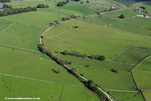 Tissington Trail jc14051
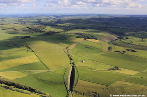 Tissington Trail jc14130
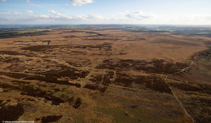 White Edge Moor, Derbyshire Dales from the air
 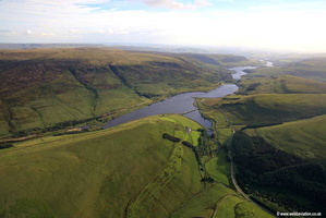 Woodhead Reservoir aerial photograph
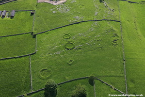 WWII Searchlight Battery jc14023
 , Jonathan C.K.Webb.