1 photo
- LanguageAfrikaans Argentina Azərbaycanca
Bahasa Indonesia Brasil Brezhoneg
Català Česky Dansk
Deutsch Dhivehi English
English English Español
Esperanto Estonian Euskara
Finnish Français Français
Gaeilge Galego Hrvatski
Íslenska Italiano Latviešu
Lëtzebuergesch Lietuviu Magyar
Malay México Nederlands
Norsk bokmål Norwegian nynorsk Polski
Português Română Slovenšcina
Slovensky Srpski Svenska
Tiếng Việt Türkçe Wolof
Ελληνικά Български Македонски
Монгол Русский Српски
Українська עברית العربية (مصر)
العربية العربية پارسی
कोंकणी বাংলাગુજરાતી
தமிழ் ಕನ್ನಡ ภาษาไทย
ქართული ខ្មែរ 中文 (繁體)
中文 (香港) 日本語 简体中文
한국어
Home / Lincolnshire 35

-
Bolingbroke Castle
4 photos
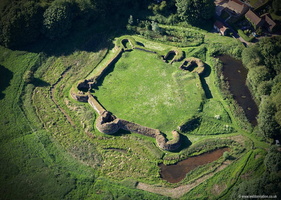
aerial photographs of Bolingbroke Castle in Lincolnshire England UK. Bolingbroke is an "enclosure castle", one where the primary defense is through the curtain wall and towers rather than a fortified keep. Most enclosure castles were built in the 13th Century with a few in the 14th century. Bolingbroke Castle was built in the 13th Century and is most famous as being the birthplace of Henry IV. The castle was rebuilt in the 15th century but by the outbreak of the English Civil War it was in a dilapidated state. Despite its condition, the castle was fortified and held by the Royalists until they were defeated by the Parliamentarians after a siege, following which the castle was slighted.
-
Boston Lincs aerial photos
13 photos
aerial photographs of Boston Lincolnshire England UK
-
Brigg
1 photo
-
Bully Hills Barrow Cemetery
3 photos
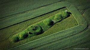
aerial photograph of Bully Hills Bronze Age Round Barrow Cemetery in Tathwell, Lincolnshire England UK. There are seven bowl burial barrows in the cemetery with six grouped together and a seventh on its own some 200 meters away. The sizes vary with the largest being 26 in diameter and the tallest some 3m high. Some of the barrows were excavated in antiquity but there have been no modern scientific examinations and therefore they exact date is unknown, however they are believed to date from the Bronze Age and so could have been constructed to 2000BC. They are now listed as a protected scheduled ancient monument.
-
Cleethorpes
4 photos
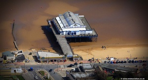
aerial photographs of Cleethorpes Lincolnshire UK
-
East Kirkby
3 photos
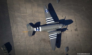
aerial photographs of RAF East Kirkby disused in Lincolnshire England UK. Opened August 1943 the base was home to 57 Squadron and 630 Squadron. After the war it was used by the USAF until it finally closed in 1958. Today part of the airfield is home to the Lincolnshire Aviation Heritage Centre
-
Epworth
1 photo
-
Gainsborough aerial photographs
15 photos
aerial photographs of Gainsborough Lincolnshire England UK
-
Grimsby
11 photos
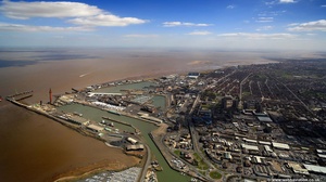
aerial photographs of Grimsby Lincolnshire UK
-
Humber Bridge
4 photos
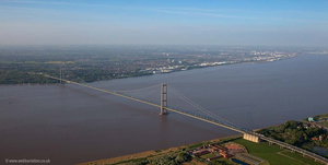
aerial photographs of the Humber Bridge spanning the River Humber between Yorkshire and Lincolnshire.Opened in 1981 it was for many years the longest single span suspension bridge in the world. The bridge was designed by Bernard Wex and carries 120,000 vehicles a week.
-
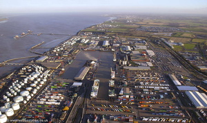
Immingham
2 photos
-
Market Rasen
6 photos
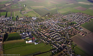
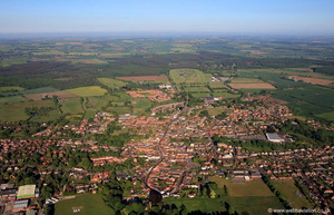
aerial photographs of Market Rasen Lincolnshire England UK
-
Louth lincs aerial photos
7 photos
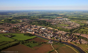
aerial photographs of louth Lincolnshire England UK
-
Scunthorpe
6 photos
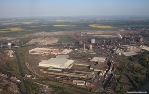
aerial photographs of Scunthorpe Lincolnshire UK
-
South Ferriby Lincs
4 photos
aerial photographs of South Ferriby Lincolnshire England UK
-
Spalding Lincs aerial photos
12 photos
2 photos in 1 sub-albumaerial photographs of Spalding Lincolnshire England UK

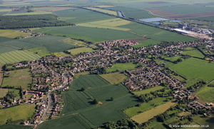 Bardney Lincolnshire from the air
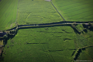 Calcethorpe deserted medieval villages (DMV) Lincolnshire from the air
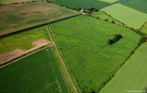 deserted medieval village ( DMV ) adjacent New River Gate Holbeach Drove Lincolnshire aerial photograph
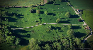 East Wykeham DMV from the air
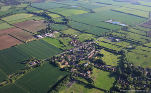 Glentham Lincolnshire from the air
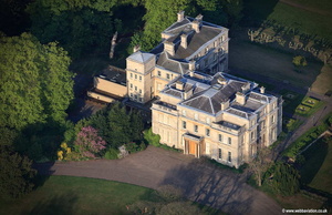 Normanby Hall near Scunthorpe Lincolnshire aerial photograph
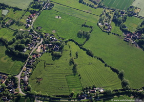 site of Minting Benedictine Priory Lincolnshire from the air
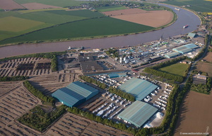 aerial photograph of Grove Wharf & neap House Wharf Lincolnshire UK aerial photograph
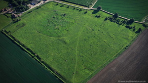 Bardney Abbey Lincolnshire from the air
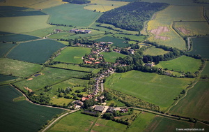 Boothby Pagnell aerial photograph
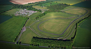 Cadwell Park race circuit from the air
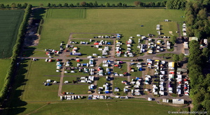 Cadwell Park race circuit from the air
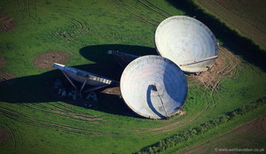 Cold war relic: discarded tropospheric scatter dishes at the former RAF Stenigot
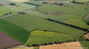 crop marks near Holbeach St Johns Lincolnshire aerial photograph
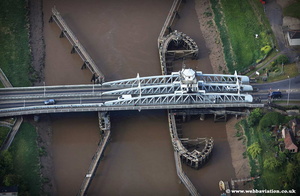 Crosskeys Bridge jc16429
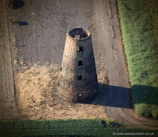 disused Thompson's Mill windmill in Epworth Lincolnshire from the air
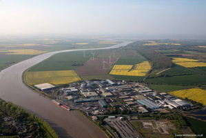 Flixborough Lincolnshire UK aerial photograph
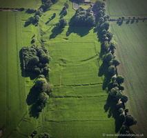 Hallington deserted medieval villages (DMV) Lincolnshire from the air
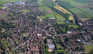 Horncastle, Lincolnshire from the air
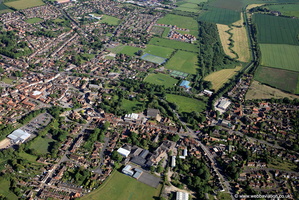 Horncastle, Lincolnshire from the air
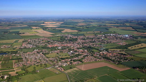 Horncastle, Lincolnshire from the air
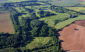 Kenwick Park Golf Club Lincolnshire from the air
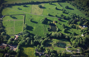 Legbourne Priory Lincolnshire from the air
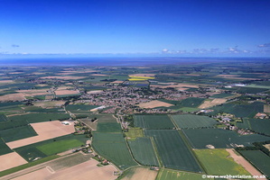 Long-Sutton-Lincolnshire-jc16442
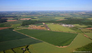 RAF Bardney Lincolnshire from the air
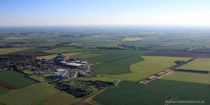 RAF Hemswell Lincolnshire from the air
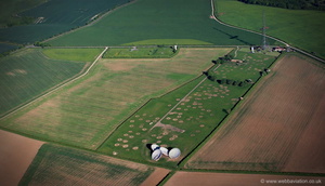 RAF Stenigot from the air
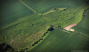 South Cadeby deserted medieval villages (DMV) Lincolnshire from the air
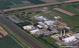 Sutton Bridge Industrial Estate jc16468
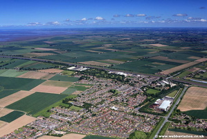 Sutton Bridge jc16456
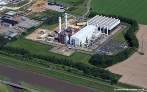 Sutton Bridge Power Station jc16462
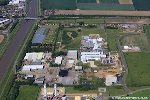 SuttonBridgeIndustrialEstatejc16487
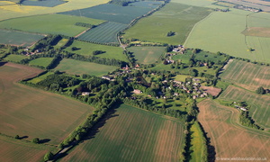 Tathwell Lincolnshire from the air
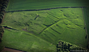 West Wykeham deserted medieval villages (DMV) Lincolnshire from the air
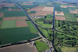 Witham Navigable Drains aerial photograph
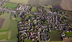
 , Jonathan C.K.Webb.