46 photos
- LanguageAfrikaans Argentina Azərbaycanca
Bahasa Indonesia Brasil Brezhoneg
Català Česky Dansk
Deutsch Dhivehi English
English English Español
Esperanto Estonian Euskara
Finnish Français Français
Gaeilge Galego Hrvatski
Íslenska Italiano Latviešu
Lëtzebuergesch Lietuviu Magyar
Malay México Nederlands
Norsk bokmål Norwegian nynorsk Polski
Português Română Slovenšcina
Slovensky Srpski Svenska
Tiếng Việt Türkçe Wolof
Ελληνικά Български Македонски
Монгол Русский Српски
Українська עברית العربية (مصر)
العربية العربية پارسی
कोंकणी বাংলাગુજરાતી
தமிழ் ಕನ್ನಡ ภาษาไทย
ქართული ខ្មែរ 中文 (繁體)
中文 (香港) 日本語 简体中文
한국어
Home / Staffordshire 48

-
Biddulph
2 photos
-
Blithfield
1 photo
-
Cannock
9 photos
-
Cannock Chase
8 photos
aerial photographs of Cannock Chase Staffordshire. Cannock Chase was once a Royal forest and is today designated as an Area of Outstanding Natural Beauty (AONB) and also a Site of Special Scientific Interest (SSSI). During the First World War a POW camp was built on the northern end of the Chase near the village of Brocton.
-
Caverswall
2 photos
-
Chartley Castle
7 photos
aerial photographs of Chartley Castle Staffordshire England UK
-
Cheadle
6 photos
aerial photographs of Cheadle Staffordshire England UK
-
Cold Meece
3 photos
aerial photographs of the Swynnerton Royal Ordnance Factory Cold Meece Staffordshire England UK
-
Drayton Manor
2 photos
-
Eccleshall
3 photos
-
Keele Staffordshire
9 photos
aerial photograph of Keele Staffordshire England UK
-
Leek
6 photos
aerial photographs of Leek Staffordshire England UK
-
Lichfield
16 photos
-
National Memorial Arboretum
5 photos
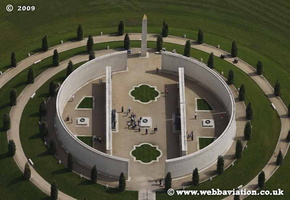
aerial photographs of the National Memorial Arboretum Staffordshire England UK
-
Newcastle-under-Lyme aerial photographs
28 photos
aerial photographs of Newcastle-under-Lyme Staffordshire England UK
-
Penkridge
4 photos
-
Ranton Abbey
3 photos
aerial photographs of Ranton Abbey Staffordshire
-
Rocester
21 photos
aerial photographs of Rocester including Roman Fort Staffordshire UK. Rocester Roman Fort later became the medieval site of Rocester Abbey, an Augustinian Abbey founded at the end of the 12th Century. The site is a Scheduled Monument.
-
Rudyard
1 photo
-
Rugeley
13 photos
aerial photographs of Rugeley Staffordshire England UK
-
Stafford aerial photographs
41 photos
8 photos in 1 sub-albumaerial photographs of Stafford Staffordshire England UK
-
Stoke-on-Trent aerial photographs
88 photos
64 photos in 1 sub-albumaerial photographs of Stoke-on-Trent Staffordshire England UK
-
Stone Staffs aerial photos
18 photos
aerial photographs of Stone Staffordshire England UK
-
Tamworth
20 photos
aerial photographs of Tamworth Staffordshire England UK
-
Tutbury
7 photos
aerial photographs of Tutbury Castle Staffordshire UK
-
Uttoxeter
6 photos
aerial photograph of Uttoxeter Staffordshire England UK
-
Woodseaves
1 photo
-
Yarnfield
1 photo

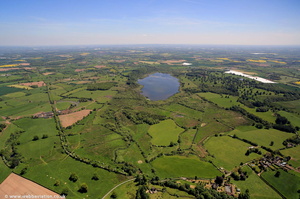 Aqualate Mere from the air
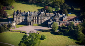 Sandon Hall Staffordshire aerial photograph
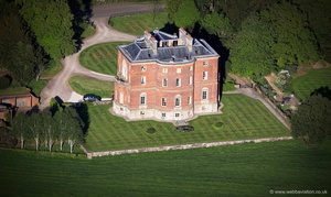 Barlaston Hall from the air
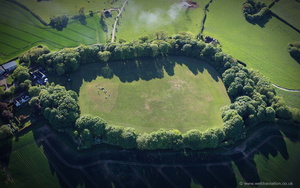 Berry Ring hillfort from the air
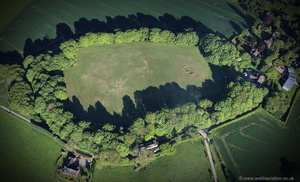 Berry Ring hillfort from the air
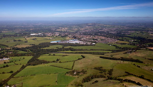 Bignall Hill Staffordshire from the air
 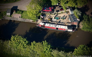 boat sweet boat
 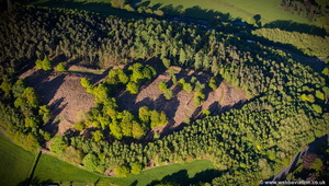 Bury Bank Iron age Multivallate hillfort aerial photograph
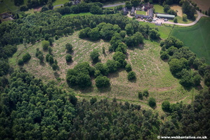 Bury Bank Ironage Hillfort jc21019 1300
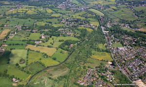 Caldon Canal running through Stockton Brook Staffordshire from the air
 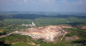 Caldon Low Quarry Staffordshire from the air
 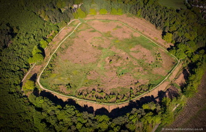 Castle Ring Iron Age Fort Staffordshire aerial photograph
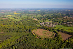 Castle Ring Iron Age Fort Staffordshire aerial photograph
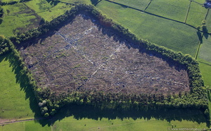 Craddocks Moss peat bog Staffordshire England UK from the air
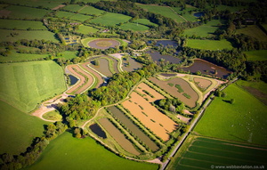 Cudmore Fisheries aerial photograph
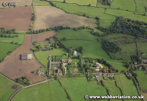 Hamstall Ridware eb30721
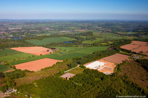 Hanchurch Hills aerial photograph
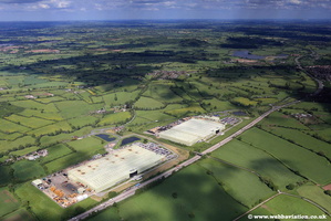 JCB Factory jc13579 1300
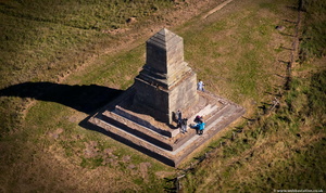 John Wedgwood Monument, Bignall Hill Staffordshire from the air
 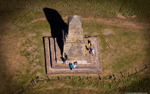 John Wedgwood Monument, Bignall Hill Staffordshire from the air
 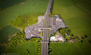 Keele Motorway Services Area aerial photograph
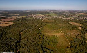 Kinver Edge from the air
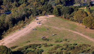 Kinver Edge from the air
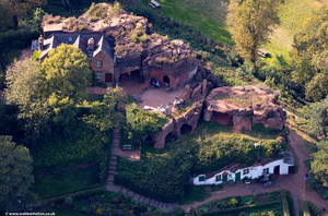 Kinver Edge Rock Houses from the air
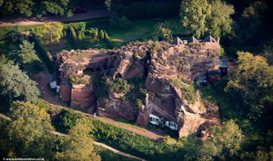 Kinver Edge Rock Houses from the air
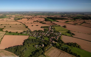 Lapley Staffordshire from the air
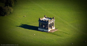 Lord Harrowby's Folly Sandon Hall Staffordshire aerial photograph
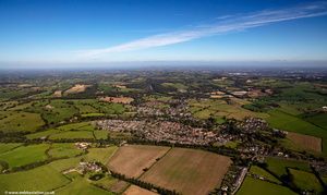 Madeley, Staffordshire from the air
 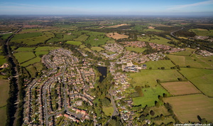 Madeley, Staffordshire from the air
 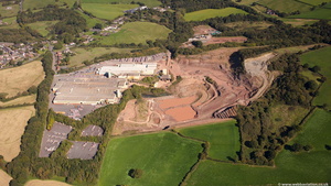 Madeley, Staffordshire from the air
 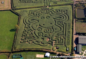 MaizeMaze-fb31811a
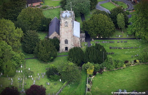 Mayfield Church jc13724
 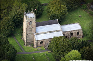 Mayfield Church jc13745 1300
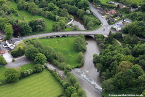 Mayfield Hanging Bridge jc13770 1300
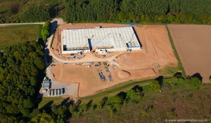 new Hanchurch underground reservoir aerial photograph
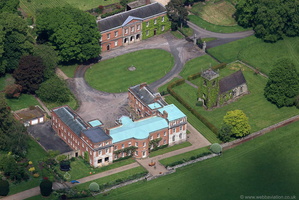 Okeover Hall Staffordshire from the air
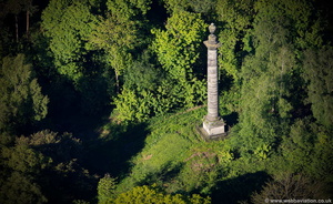 Pitt's Column, Sandon Park aerial photograph
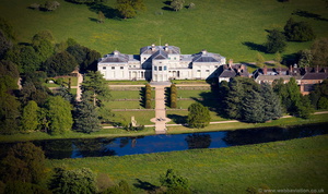 Shugborough Hall ( National Trust ) aerial photograph
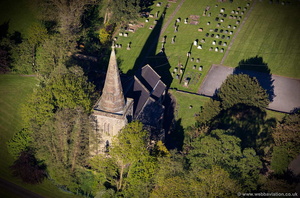 St. Andrew's Church Weston aerial photograph
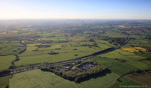 Stafford services on the M6 motorway southbound from the air
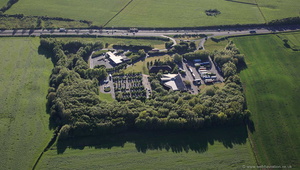 Stafford services on the M6 motorway southbound from the air
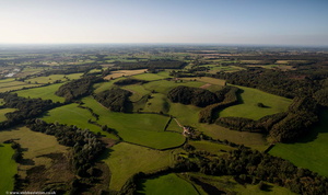 Staffordshire Shropshire border from the air
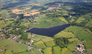 Stanley Pool Staffordshire from the air
 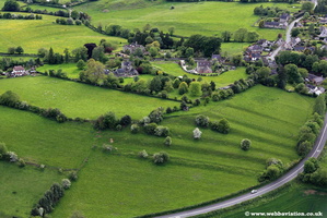 Strip Lynchets jc13775 1300
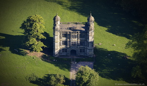 Tixall Gatehouse aerial photograph
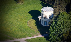 Tower of the Winds Shugborough Hall aerial photograph
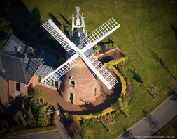 Upper Longdon Windmill Staffordshire aerial photograph
 waste disposal site on Bones Lane, Cheddleton Staffordshire from the air
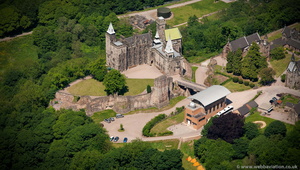
 , Jonathan C.K.Webb.