| Buy this picture |
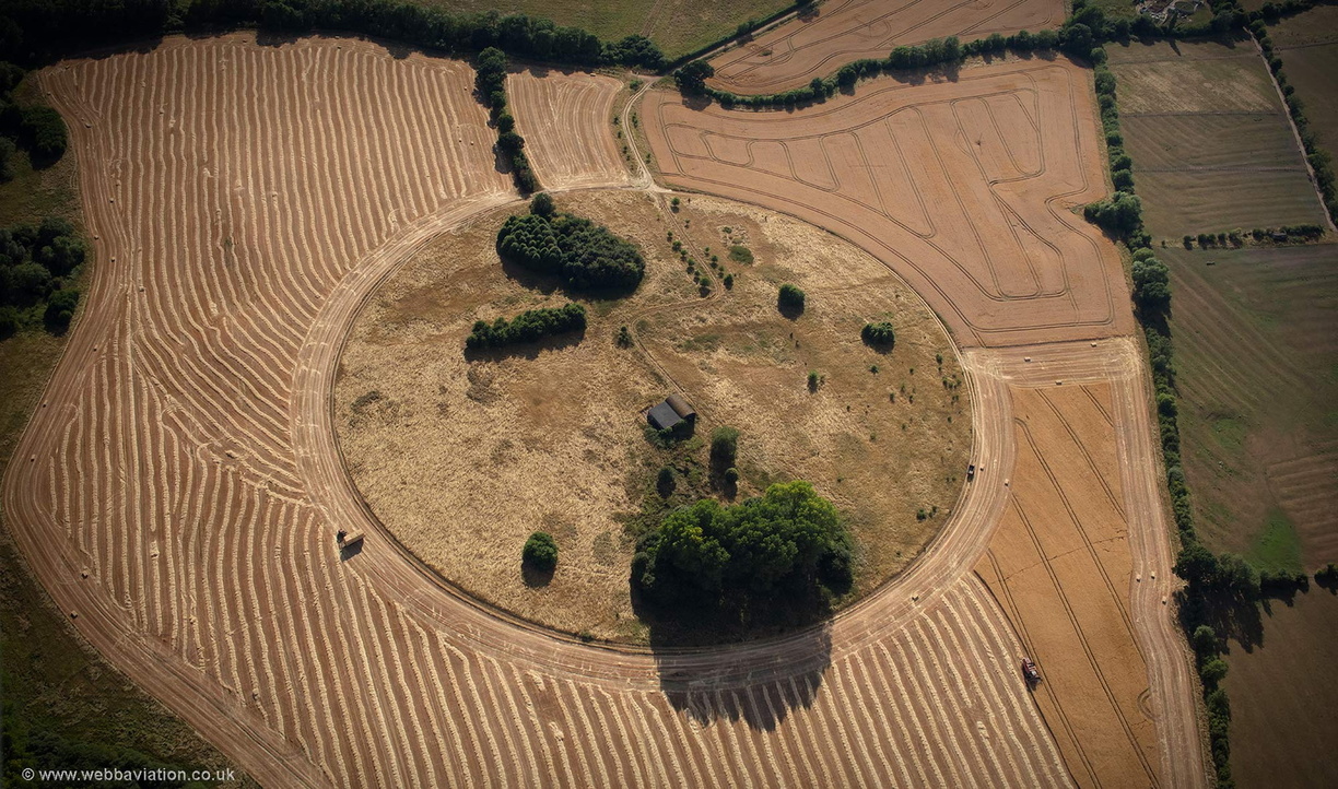
aerial photograph of enigmatic field layout at Eydon Northamptonshire, England UK. The purpose and reason for this enigmatic circle are unknown. Nothing is shown on the map of 1791 and the circualr feature was not on aerial photographs taken in 1945. Its not known if the feature is intended to preserve archeology, but certainly ridge and furrow field patterns are preserved in the upper right quadrant. Maps of 1884 show a farm complex where now just one old barn remains. The village of Eydon is recorded in the doomsday book and this are was used as farming throughout the medieval period. The village has had an eventful history, being struck by plague in 1605 and the English civil war affecting the whole area. At least one Civil War soldier is burried in the village.
- Albums
- Visits
- 4780
 , Jonathan C.K.Webb.