7 photos
- LanguageAfrikaans Argentina Azərbaycanca
Bahasa Indonesia Brasil Brezhoneg
Català Česky Dansk
Deutsch Dhivehi English
English English Español
Esperanto Estonian Euskara
Finnish Français Français
Gaeilge Galego Hrvatski
Íslenska Italiano Latviešu
Lëtzebuergesch Lietuviu Magyar
Malay México Nederlands
Norsk bokmål Norwegian nynorsk Polski
Português Română Slovenšcina
Slovensky Srpski Svenska
Tiếng Việt Türkçe Wolof
Ελληνικά Български Македонски
Монгол Русский Српски
Українська עברית العربية (مصر)
العربية العربية پارسی
कोंकणी বাংলাગુજરાતી
தமிழ் ಕನ್ನಡ ภาษาไทย
ქართული ខ្មែរ 中文 (繁體)
中文 (香港) 日本語 简体中文
한국어
Home / Lancashire / Burnley 82


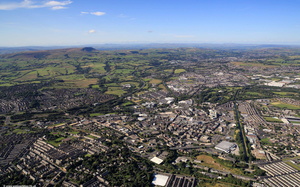 Burnley Lancashire from the air
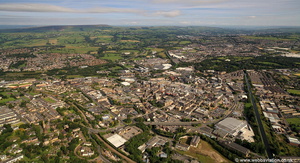 Burnley aerial photograph
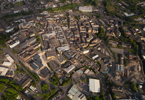 Burnley town centre from the air
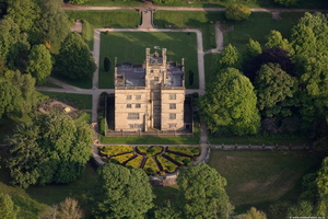 Gawthorpe Hall from the air
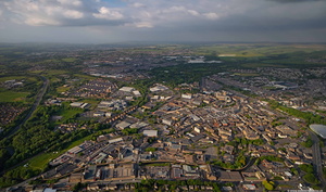 Burnley town centre from the air
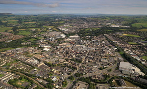 Burnley aerial photograph
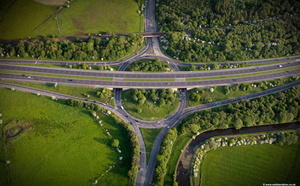 Hapton Interchange, junction 8 of the M65 Motorway where it intersects with the A56 from the air
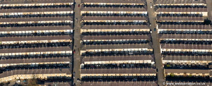 terraced houses in Burnley Lancashire aerial photograph
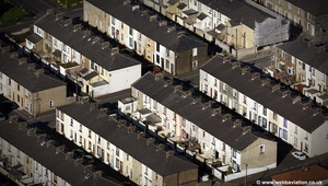 terraced houses in Lancashire aerial photograph
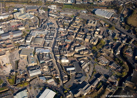 Burnley aerial photograph
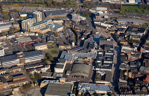 Charter Walk Shopping Centre aerial photograph
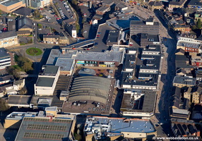 Charter Walk Shopping Centre aerial photograph
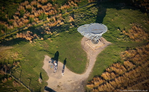 Singing Ringing Tree Panopticon from the air
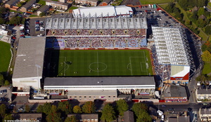 Turf Moor football stadium Burnley, home ground of Burnley Football Club aerial photo
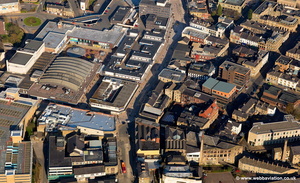 Burnley town centre aerial photograph
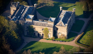 Towneley Hall Burnley aerial photograph
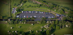 Reedley Marina Barden Lane Burnley BB12 from the air
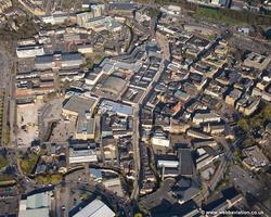 Burnley aerial photograph
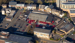 Royal Mail Burnley Delivery / sorting Office Bank Parade, Burnley aerial photograph
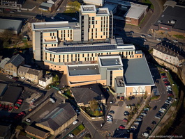 St Peter's Primary Health Care Centre Burnley aerial photograph
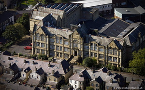 Burnley College / Technical Institute on Ormerod Road Burnley Lancashire aerial photograph
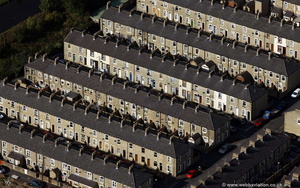 rows of terraces in Lancashire aerial photograph
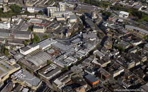 Burnley town centre aerial photograph
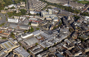 Burnley town centre aerial photograph
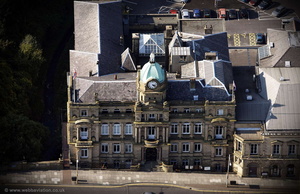 Burnley Town Hall aerial photograph
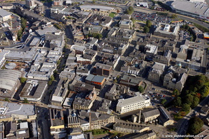 Hargreaves St & Vicinity Burnley aerial photograph
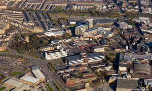 Kingsway & Vicinity Burnley aerial photograph
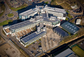 University of Central Lancashire, Burnley Campus aerial photograph
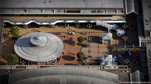 Charter Walk Shopping Centre Burnley aerial photograph
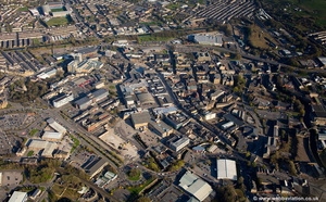 Burnley aerial photograph
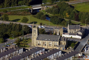 Trinity Towers, Burnley aerial photograph
 tennis court aerial photograph
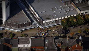 Burnley town centre aerial photograph
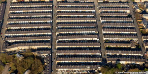 terraced houses in Burnley Lancashire aerial photograph
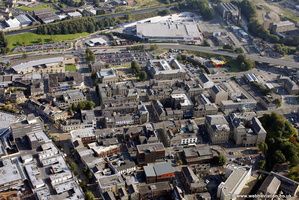 Manchester Road & Vicinity Burnley aerial photograph
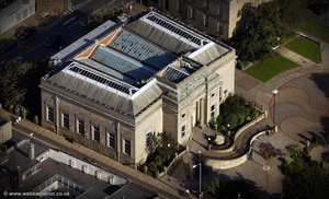 Burnley Central Library aerial photograph
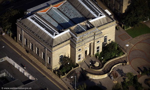 Burnley Central Library aerial photograph
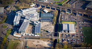 University of Central Lancashire, Burnley Campus aerial photograph
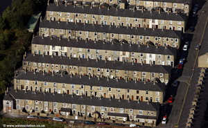 rows of terraces in Lancashire aerial photograph
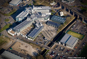 University of Central Lancashire, Burnley Campus aerial photograph
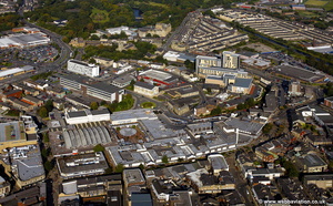 Burnley town centre aerial photograph
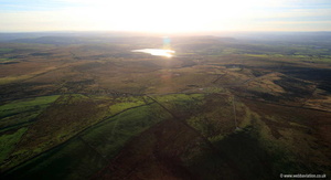 Burnley Panoptican
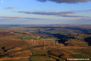 CoalCloughWindFarm-ic28861
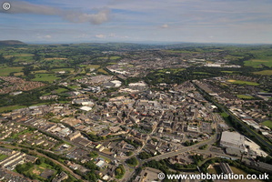 BurnleyLancashire-eb25849
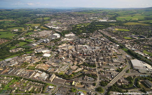 Burnley UK eb25847
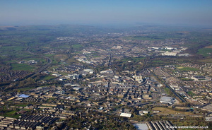 Burnley aerial photograph
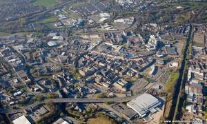 Burnley aerial photograph
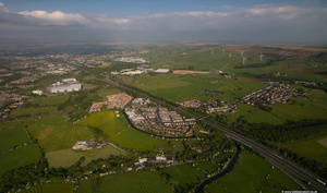 Hapton, Burnley, Lancashire from the air
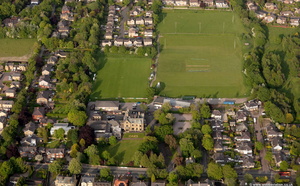 The Oaks Hotel Burnleyfrom the air
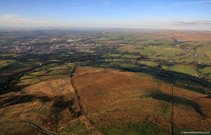 Burnley Panoptican
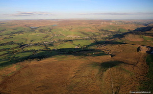 Burnley Panoptican
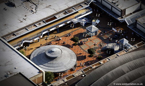 Charter Walk Shopping Centre Burnley aerial photograph
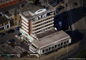 The Keirby Park Hotel, Burnley aerial photograph
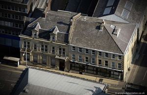 Prudential Buildings Burnley aerial photograph
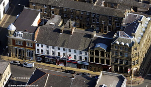 row of shops on Manchester Road Burnley aerial photograph
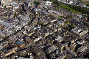 Manchetser Road & vicinity Burnley town centre aerial photograph
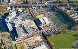 University of Central Lancashire, Burnley Campus aerial photograph
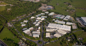 Network 65 Business Park, Burnley BB11 from the air
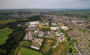 Heasandford Industrial Estate, Widow Hill Road, Burnley, BB10 2BQ aerial photograph
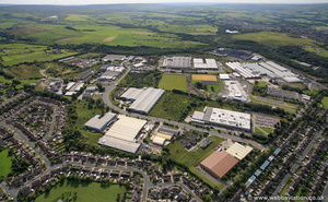 Heasandford Industrial Estate, Widow Hill Road, Burnley, BB10 2BQ aerial photograph
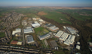 Heasandford Inustrial Estate, Widow Hill Road, Burnley Lancashire from the air
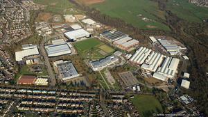 Heasandford Inustrial Estate, Widow Hill Road, Burnley Lancashire from the air
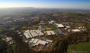 Heasandford Inustrial Estate, Widow Hill Road, Burnley from the air
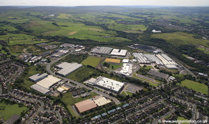 Heasandford Industrial Estate, Widow Hill Road, Burnley, BB10 2BQ aerial photograph
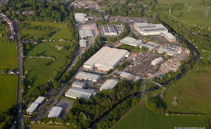 Shuttleworth Mead Business Park from the air
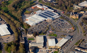 Prestige Retail Park, Active Way, Burnley aerial photograph
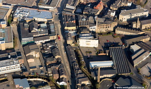 area around St James Syreet Burnley aerial photograph
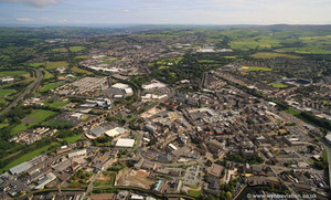 Burnley aerial photograph
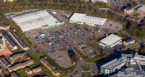 Princess Way Retail Park, Burnley aerial photograph
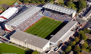 Turf Moor football stadium Burnley, home ground of Burnley Football Club aerial photo
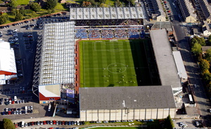 Turf Moor football stadium Burnley, Lancashire, England UK, home ground of Burnley Football Club aerial photograph
 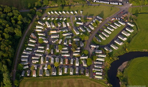 Bridge Hey Wood Caravan Park , Read, Burnley from the air
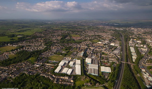 Lowerhouse and Rose Grove, Burnley BB12 from the air
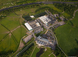 Crow Wood Hotel & Spa Resort Burnley from the air
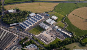 Fort Vale Engineering from the air
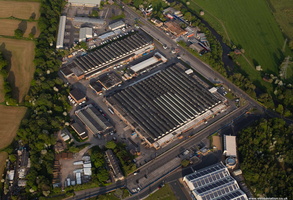 Time Technology park from the air
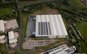 Exertis UK UK Burnley from the air
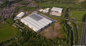 Exertis UK Burnley from the air
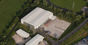 Fagan & Whalley Burnley BB12 from the air
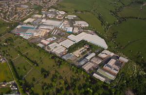 Rossendale Road Industrial Park / Orient Business Park, Burnley BB11 from the air
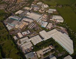 Rossendale Road Industrial Park / Orient Business Park, Burnley BB11 from the air
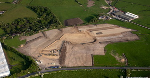 groundworks for the new industrial estate being built on Accrington Rd Hopton, Burnley from the air
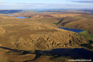
 , Jonathan C.K.Webb.