| Buy this picture |
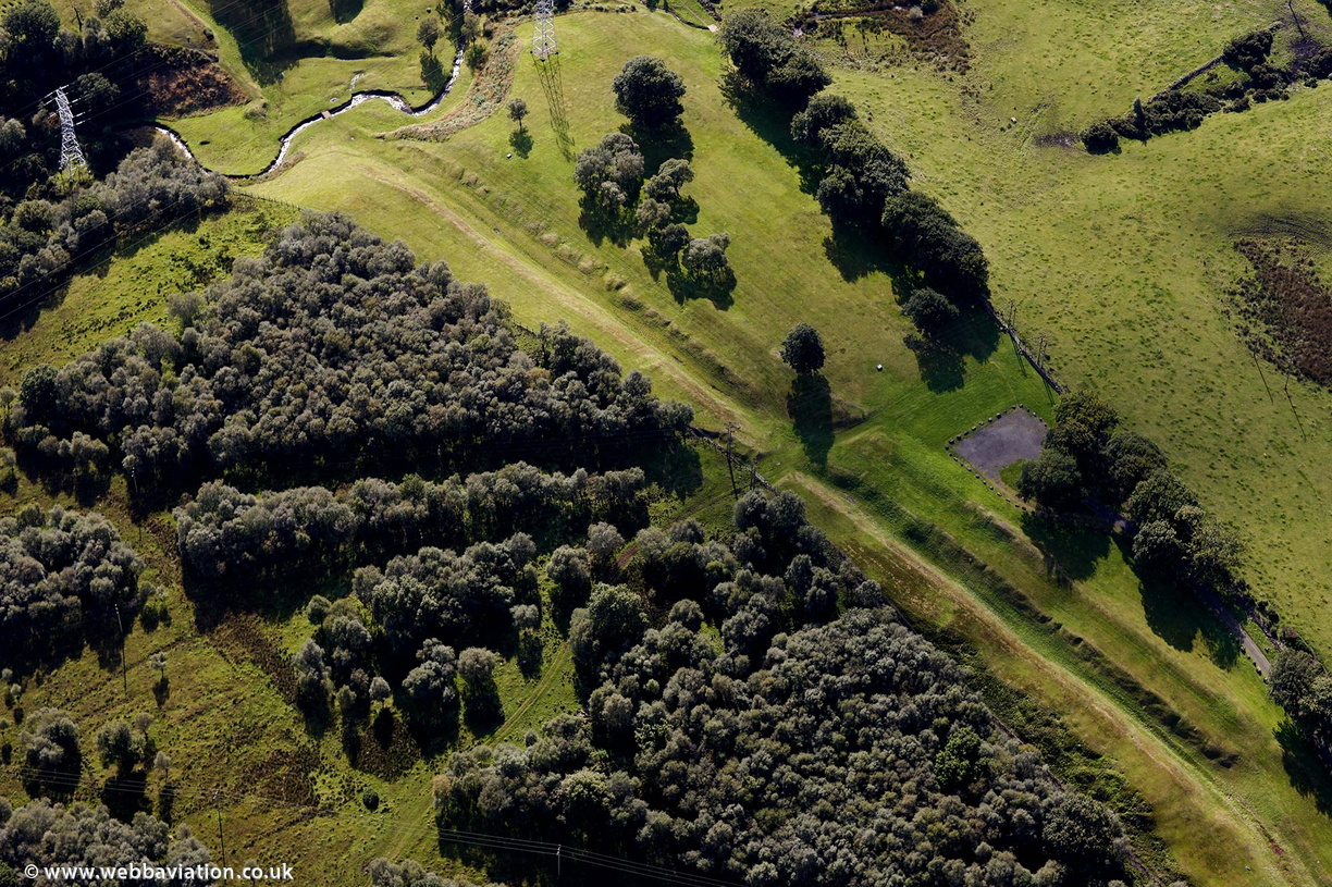
aerial photograph of the Antonine Wall ( Vallum Antonini ), Scotland. Constructed AD 142 to AD154, during the reign of Antonius Pius the wall ran from coast to coast with the best preserved part being near Falkirk. The Antonine Wall consisted of a series of turf ramparts and ditches on stone foundations surmounted by a wooden palisade. The wall was 39 miles long, 3 meters high and 5 meters wide. It represented the northern boundary of the Roan Empire which was expanded further into Scottish territory from Hadrian's Wall which was built 20 years previously. The expansion was short lived and the wall was only defended for around 8 years before the Romans withdrew back to Hadrian's Wall.. While all traces of wood have long since rotted away, traces of the ditches and ramparts are still visible from the air 2000 years after they were built.
- Albums
- Visits
- 4330
 , Jonathan C.K.Webb.